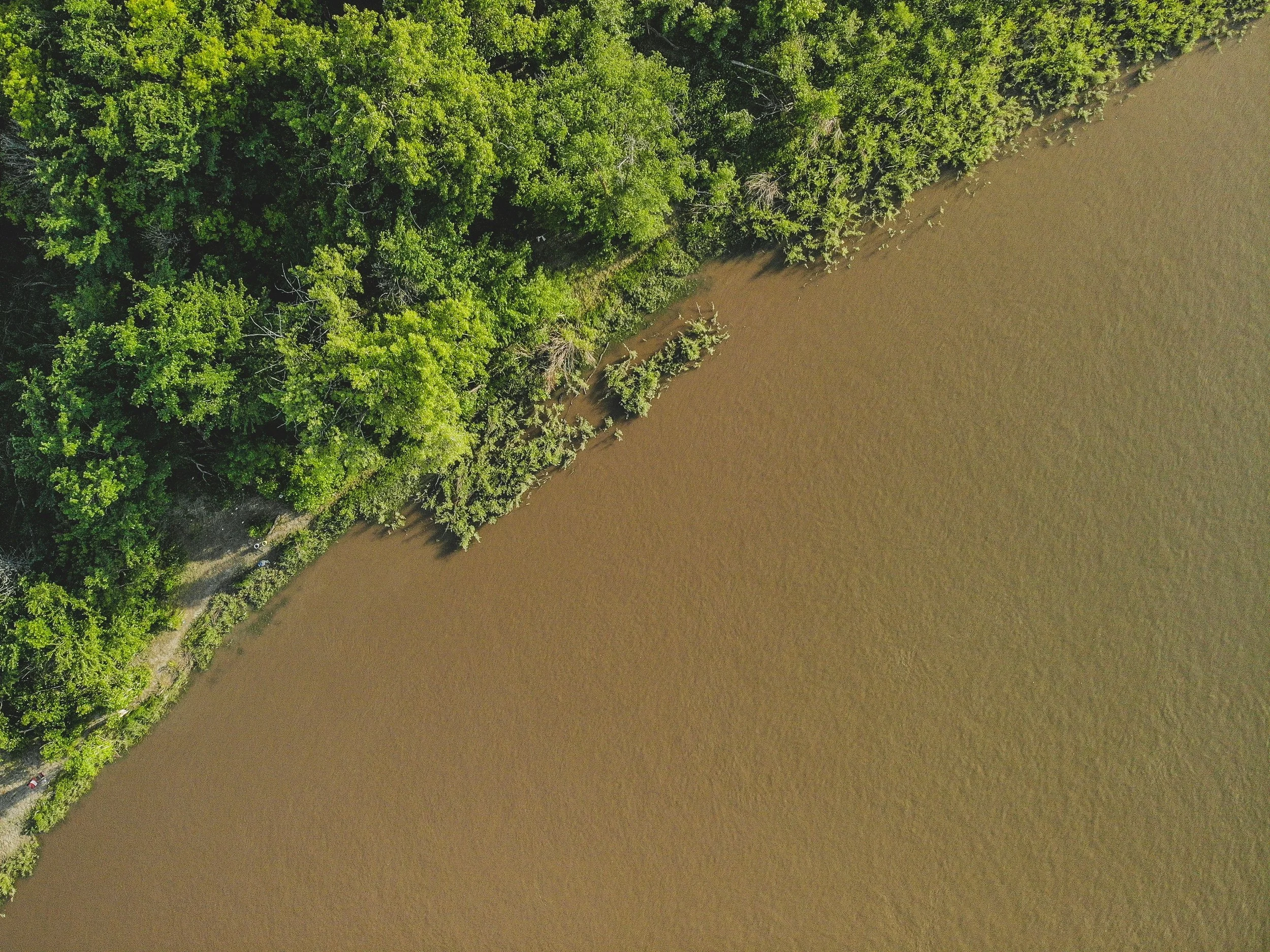
top of page
Projects

DOUGLAS LAKE

​

Nordic Minerals-2022 Land Position Map.jpg

The mineral claims are surrounded by the mineral claims of Hudbay Minerals Inc to the East and SSR Mining to the West and Searchlight Resources Inc to the North and to the South.  Hudbay Minerals Inc and its predecessor Hudson Bay Mining and Smelting have continuously produced copper, zinc, gold and silver since the 1930s from three or more mines directly East of Nordic Minerals Ltd property and within 4 kilometres of Nordic Minerals Ltd claim boundary. Callinex Mines Inc is identified in yellow and is located immediately east within the red area of Hudbay Minerals. The Searchlight Resources property was previously host to the historic Newcor, Henning Maloney & Bootleg/Rio gold mines, the property is immediately adjoining Nordic Minerals Ltd property to the South.  SSR Mining Inc Amisk project is 16 KLM directly west of the Nordic disposition. Further west 65 klms  of Nordics dispositions, Foran Mining Corporation has their McIlvenna Bay, VMS mine currently under construction. Hudbay Minerals Lalor and Reed lake mines are located due east of Flin Flon. 


Of note is the fact that all of these projects are on the same latitude.

​

Douglas Lake is an underground deposit, which is believed to contain copper, zinc, gold and silver. The deposit is located approximately three kilometers west of Flin Flon, Manitoba, where Hudbay Minerals Inc and its predecessor Hudson Bay Mining and Smelting have produced from four mines between 1936 and 2022 as indicated on the adjacent map.  

Douglas Lake Property Location Map.png

Seismic

In March 2021 the Geological Survey of Canada completed a 2-dimensional seismic survey form the eastern boundary of the town of Creighton along highway 167 to Amisk Lake (Denare Beach).  The survey crossed the Nordic Minerals Ltd claims along the northern boundary of Douglas Lake and then proceeded diagonally to the southwest thought the centre of the claim.  The preliminary interpretation of the deeper seismic data has proved to be very encouraging and indicates the presence of the West Arm Shear a major structure and many tiny shears at a depth of approximately 1500M. Shears are conduits through which fluids travelled bringing minerals towards the surface forming mineral deposits.

​

Below are illustrations of the preliminary interpretations of the March 2021 seismic

Slide1.png
Slide2.png
Slide3.png
Douglas Lake Project.png

Hudbay Minerals 2D and 3D Seismic and proximity to Nordic Minerals disposition S-111969

table1.png

1972 Four trenches (Pits), located a few hundred feet North of Highway 167 at the Northern end of Douglas Lake were excavated. Mineralization was recorded as * SMDI 40 where copper gold and silver values were recorded from samples which returned the following sample assays:

1989 Hudson Bay Mining and Smelting undertook a 5 hole drilling project referred to as the GAW holes. The GAW 5 & 6 holes located on the Douglas Lake Claim, intersected Volcanic-Associated Massive Sulphides, containing copper and zinc in a seam at a depth of 79.6-80.3 feet which was recorded as recorded SMDI # 2417. Assays returned

Drill Hole Intersection Width PCT

table2.png
Douglas Lake Project2.png

This is an illustration of the VTEM interpretation of the Electro magnetic survey conducted in 2014 by Hudbay Minerals. The pinkish hue illustrates the highest resolution from the electromagnetic survey.


The ground loop electromagnetic survey planned for this coming winter is aimed at further delineating the copper prospect.


Future drilling locations will be established, from the interpretation of the ground loop electromagnetic survey.

  1. December 2019  The crown expanded our disposition at Creighton adding an additional 119 Hectares and the additions included a AU (gold) showing.
     

  2. October, 2020  The company acquired an additional disposition at Creighton adjoining our current disposition consisting of an additional 48 Hectares
     

  3. In March 2021 the Geological Survey of Canada completed a 2-dimensional seismic survey from the eastern boundary of the town of Creighton along highway 167 to Amisk Lake (Denare Beach).  The survey crossed the Nordic Minerals Ltd claims along the northern boundary of Douglas Lake and then proceeded diagonally to the southwest through the centre of the claim.  The preliminary interpretation of the deeper seismic data has proved to be very encouraging and indicates the presence of the West Arm Shear a major structure and many tiny shears at a depth of approximately 1500M. Shears are conduits through which fluids travelled bringing minerals towards the surface forming mineral deposits.
     

  4. In June 2021 the company completed the drilling of two shallow drill holes and the core was analyzed and determined the presence of Volcanic Massive Sulphides (VMS)
     

  5. In June 2023 the company completed surface sampling on the S111969 permit and will be conducting a similar mapping survey in October on the MC00017510 disposition. Below are the geologists sample analysis form each of the surveys.
    Then attach the analysis in chronological order.
     

  6. The company has received its permits and intends to complete a ground loop electro magnetic survey over the northern portion of Douglas Lake and onshore consisting of a total of 12 lines. The company anticipates completing its Flow Through Share Offering and conducting this Ground Loop Electro Magnetic Survey this winter.

june-20-21-2023.jpg
october-8-9-2023.jpg
october-8-9-2023-2.jpg
bottom of page